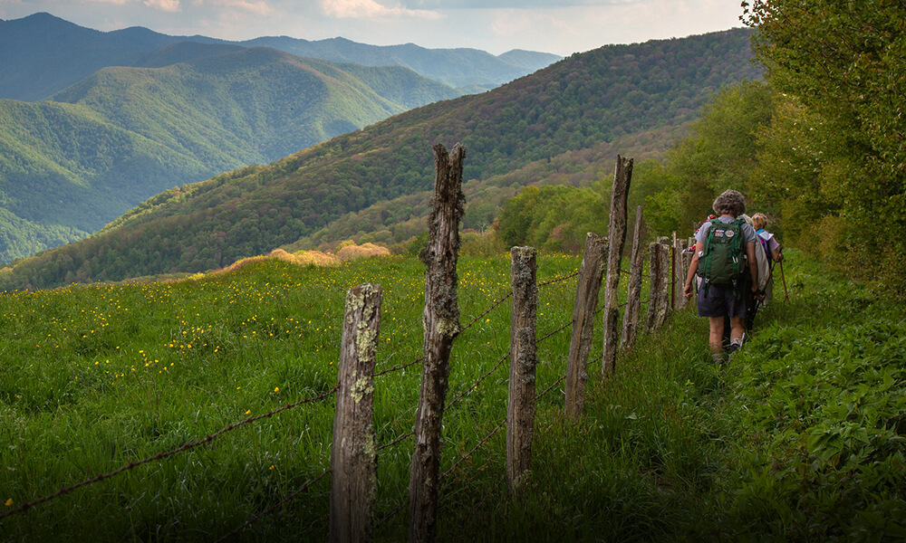
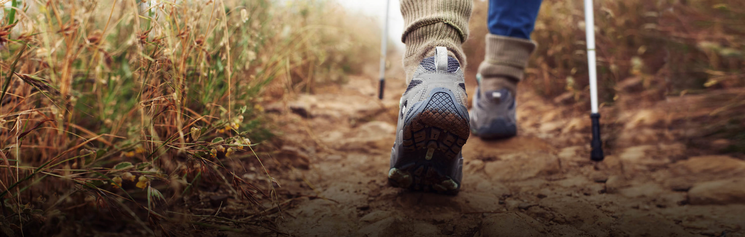
Promoting the development and enjoyment of Tennessee trails.
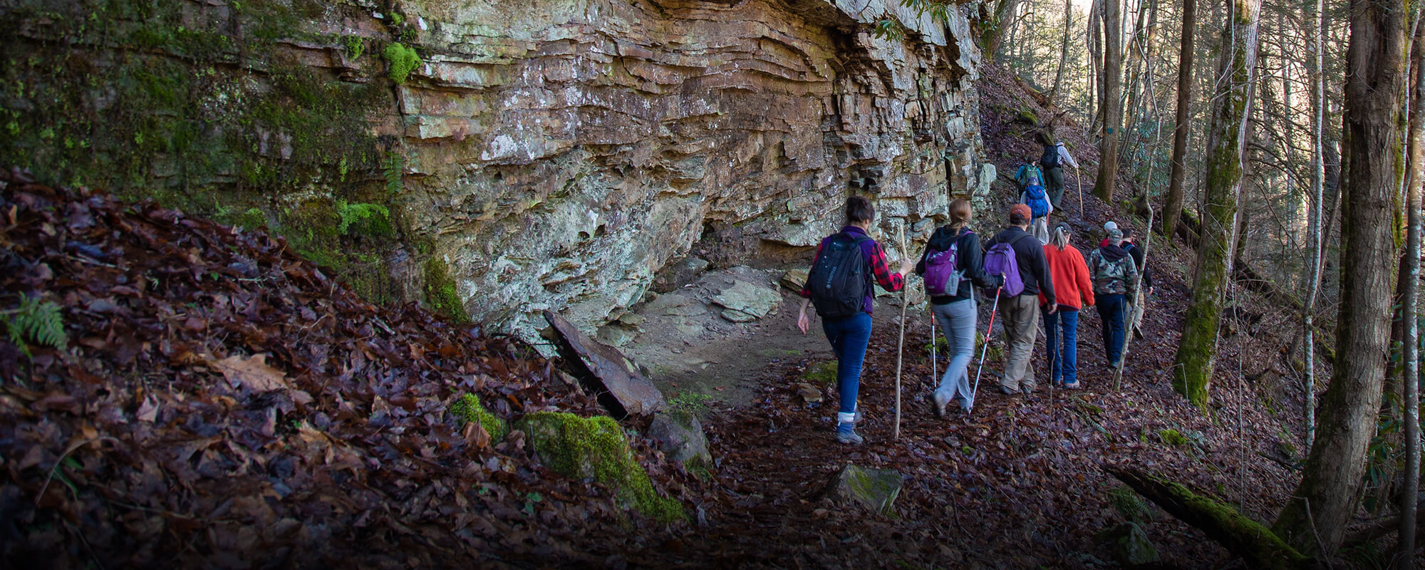
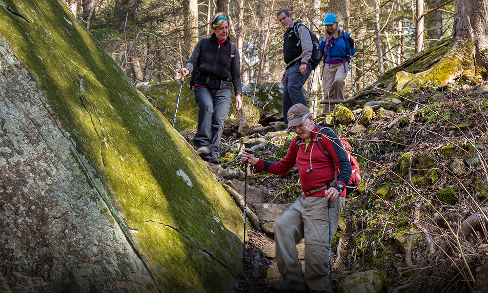
We are hikers and advocates that have helped to build, maintain, and promote the responsible use of Tennessee trails since 1968.
Upcoming Events
Loading view.


Promoting the development and enjoyment of Tennessee trails.